
It’s 1990, and my first major French bike trip: Paris to Nice. In preparation, I leafed through a Let’s Go France book and bought a couple Michelin maps.
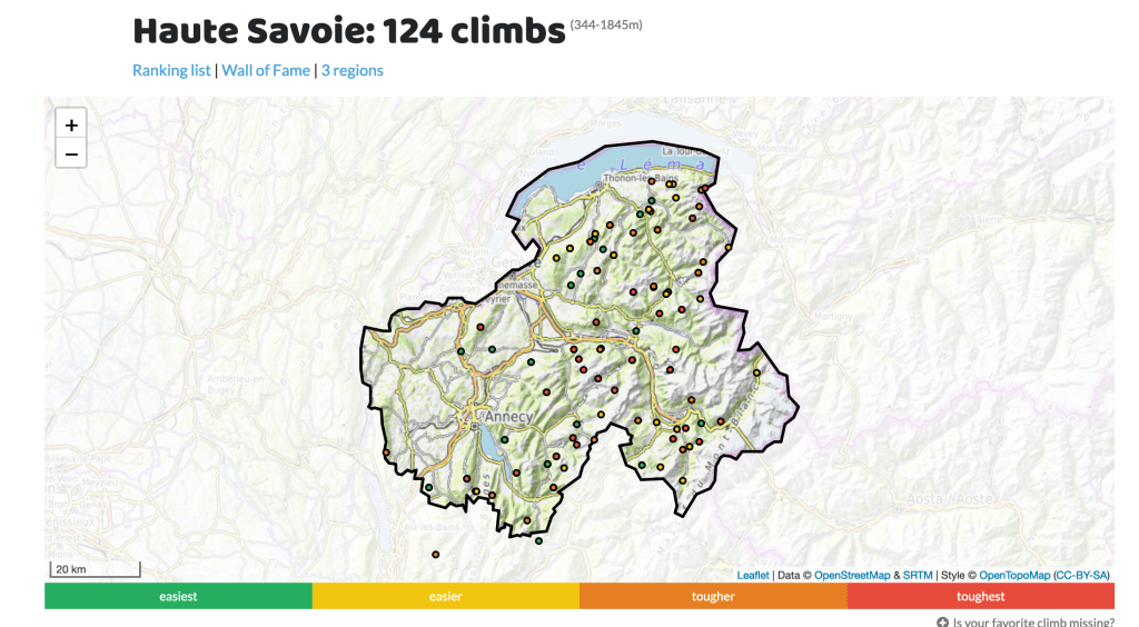
It’s 2022, and my first French bike trip since 2019: the Haute Savoie portion of the Alps, from bases in Annecy and Cluses (I depart on September 11). In preparation, I’ve been watching YouTube videos of cyclists climbing different cols in the area (so many videos & cols!); I have found, joined and connected with people from three different Facebook groups devoted to cycling in and around Annecy and Cluses; downloaded an app (it’s called mycols and is free) that provides the profile of each col, plus its rating, a map and its history in the Tour de France.
I’ve also connected with Mike Booth, the man who can climb the Colombiere with only one hand! Watch this video to understand what I mean. Be careful. If you watch, you may develop an uncontrollable urge to ride up the Colombiere and Aravis. It’s a 60-mile loop with about 2,000 meters of uphill. It’s on my to-ride list.
My point is: A lot has changed when it comes to planning a cycling trip. This is what the internet, Facebook and social media were invented for! Not all that bullying and arguing and political hate stuff. Social media was invented for sharing info about cycling trips and connecting cyclists from around the world with one another. Right? Cyclists know how to use social media properly – and the rest of the world could learn a lot from us.
Here are a few social media tips for planning your cycling trip:
There are billions of Facebook pages. This is not an exaggeration. There’s a Bike in Annecy page; another from what appears to be the local bike club; and one just for climbing the Semnoz. There’s a non-cycling page for Ex Pats in Annecy. There are probably more, but I’ll stick to these four.
On the Facebook page for the Semnoz someone posted a challenge: Climb to the peak from all three sides. This is similar to, but (thankfully) not as difficult as the climbing Mont Ventoux from all three sides challenge I did all the way back in 2010. Challenge accepted! This ride is on my to-ride list, which is growing longer and longer.

Websites
Here’s a site that lists all the cols in the Haute Savoie and ranks them by degree of difficulty.
Videos
My favorite part of planning this trip has been watching the videos. Some are, let’s just say less professional that others. Some of the best are from Mike Booth and can be found on his website and YouTube channel.
I do have to say that watching these videos has made me a little nervous. These are mountains. Real mountains. Nasty mountains that are regularly in the Tour de France. I live in central Ohio where there’s not a mountain, or even a big hill, to be found. I might be in a little bit of trouble.
Michelin maps
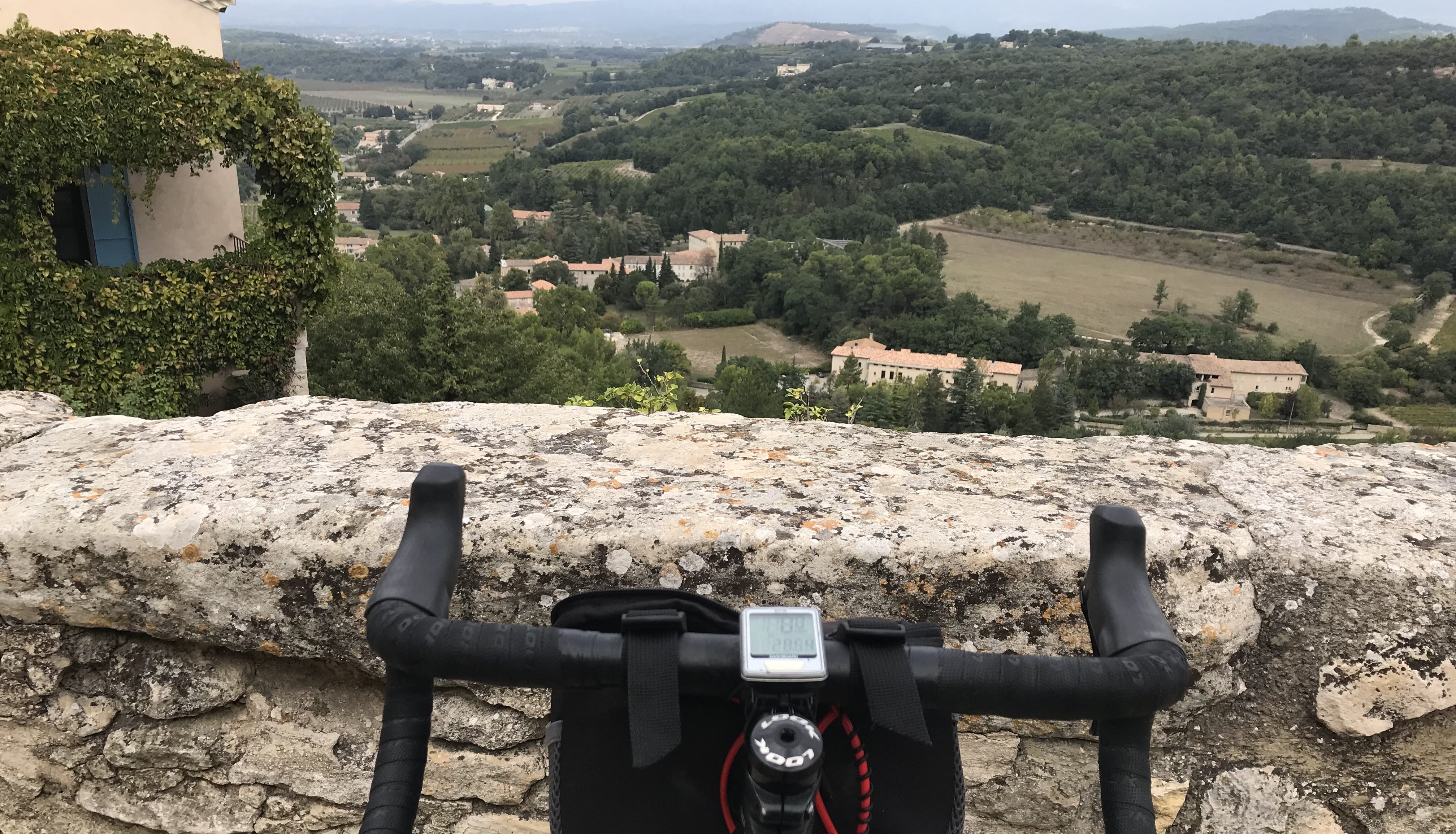
Despite all the advances in technology and GPS tracking, I still use a Michelin map to plan all my rides and routes – and carry the appropriate one with me at all times. Yeah, sure, you can study routes online and download them onto your phone, but one of my favorite parts of a bike trip is planning my own routes, adjusting them during a ride, and finding new routes that not so many cyclists have ridden. Isn’t that the allure of a bike trip: freedom and independence, and getting away from technology? This was, BTW, a rhetorical question.
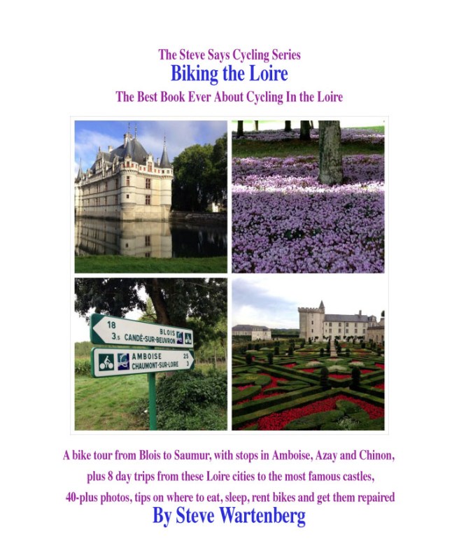
Here’s the link to my Etsy page and my eBooks on cycling Provence, the Dordogne, Normandy, the Loire and Bordeaux.