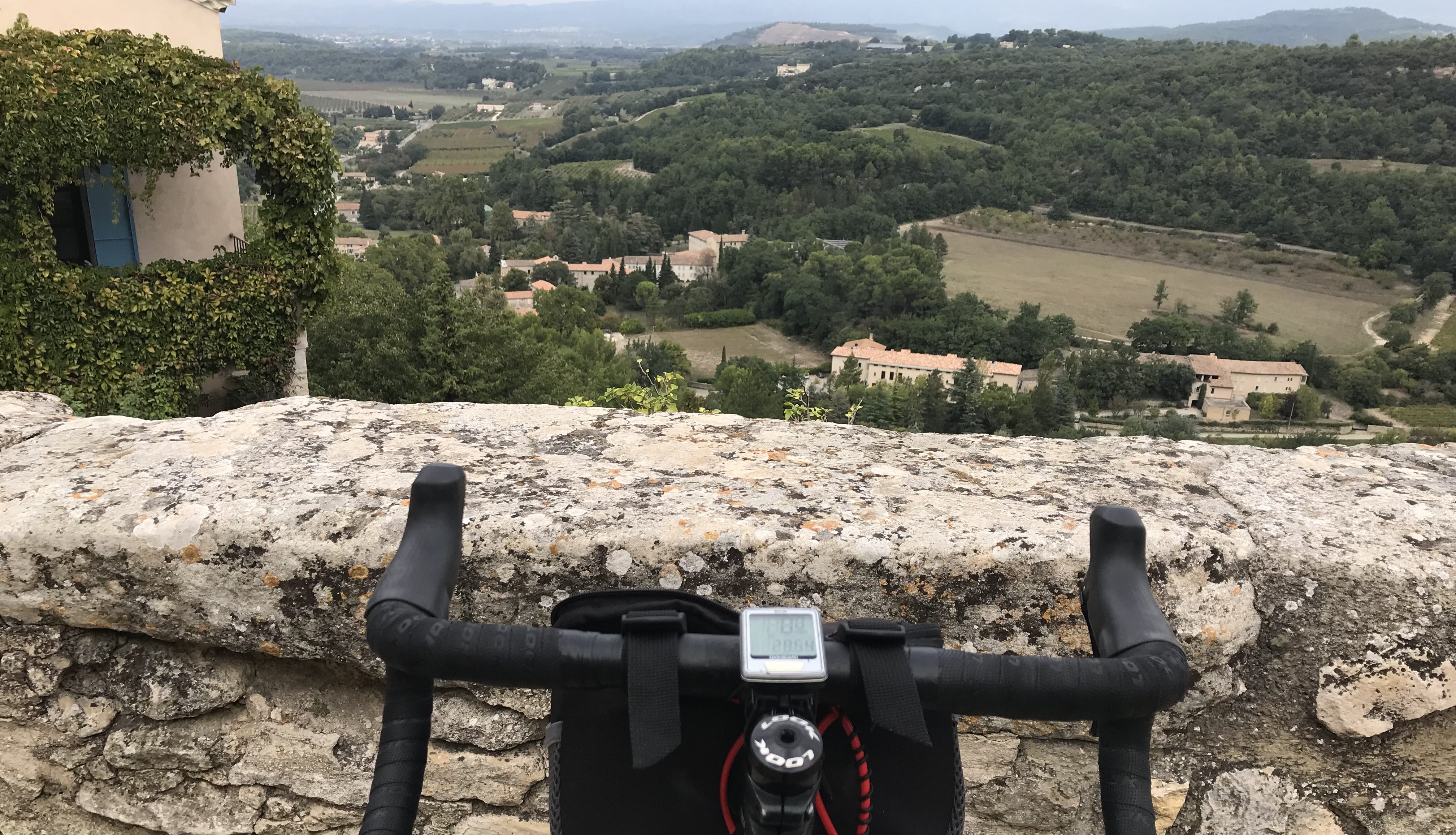
There’s always a little bit of doubt at the start of a long, somewhat-epic climb of a “new to me” mountain.
“Can I do it?”
Or … “I know I’ll make it, but how much will I suffer?”
The second option was what I was thinking this morning when I began riding toward the start of the Signal de Lure. I was pretty sure I’d reach the summit but was a little nervous about all the climbing and the weather. It had finally stopped raining about 90 minutes before I departed from my hotel in Sisteron at 11 a.m. and it was only 53 degrees in town. Who knows how cold and overcast it will be on top of the Signal?
Not me.
It’s a 26.3-kilomter (16.3 mile) climb to the Signal and it goes from 507 meters at the bottom to 1,731 meters at the top. The average grade is 4.6 percent, which seemed doable. The Signal is considered HC, which means “Beyond Category” and these HC cols (climbs) are considered the hardest in bike racing (Mont Ventoux is another example). This is an old term first coined in the Tour de France, and you’d think that today, what with all the computers and numbers we have available they could assign something more specific than HC. Like HC+1, HC+2, and so on. Some HCs are harder than other HCs.
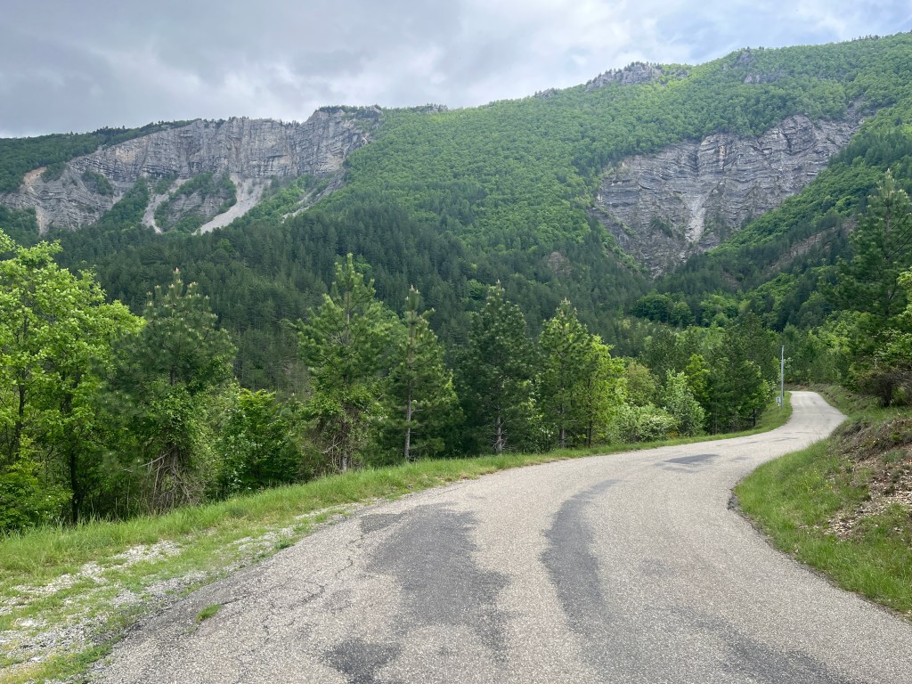
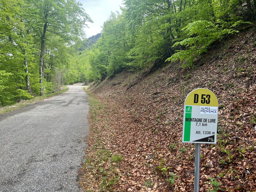
The start of the Signal climb (the D 53) is about 8 kilometers from Sisteron and included a nice warm-up climb. I turned left onto the D 53 and began the 26-kilomter climb. All around me were a panoramic view of cliffs and ridges and mountains that rose up and up and up. Which one was the Signal?
There was no way to tell.
The first few kilometers through the valley, surrounded by all those mountains, were actually the most scenic of the ride. Soon after the little village of Valbelle, you enter the forest and remain in the forest, which limits the view, almost to the top.
There was a sign post every kilometer that told you how many more kilometers to the top, your current altitude and the average gradient for the next kilometer. I can’t decide if I like these signs. On the one hand, it’s good to know how steep the next kilometer will be. Then again, knowing the next one if a 6-percent or 7-percent climb can be discouraging. And, when you know there’s a sign in another kilometer, you instinctively look for it, which makes a kilometer seem longer than a kilometer.
Anyway … Only two cars passed me, and I didn’t see another cyclist until there were about 5 Ks to the summit. A second cyclist passed me a kilometer or so later.
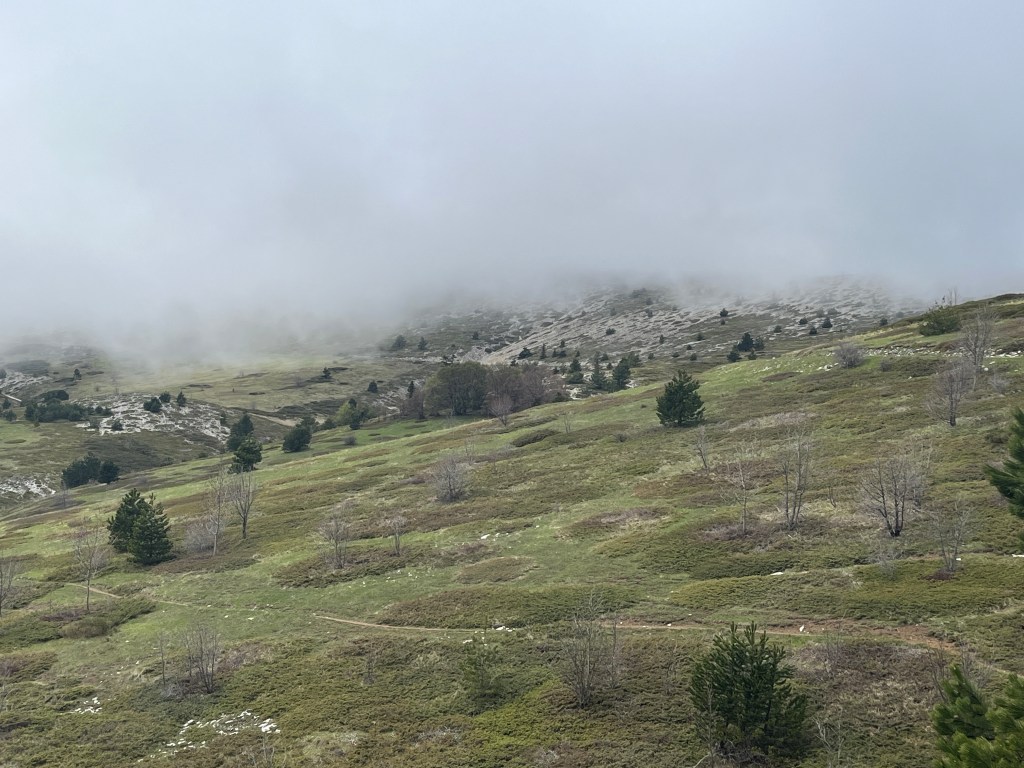
Finally, with 3 Ks to go you emerge from the woods and can see the summit of the Signal and the surrounding peaks. Well, I would have been able to see them if it wasn’t so cloudy, misty, overcast and dreary (all these words apply).
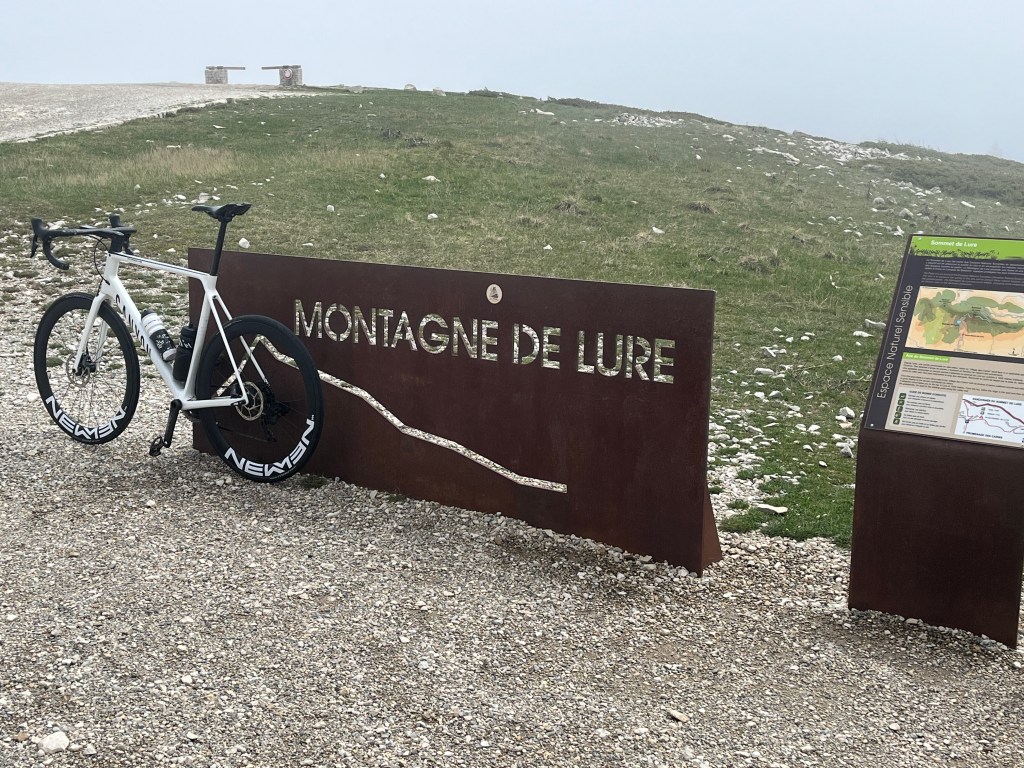
I reached the summit, and it wasn’t the actual summit. There’s a kilometer or so hiking path that goes to top. People (in cars) drive here and hike to the top. Cyclists in clip-in bike shoes don’t.
I chatted with the two guys who had passed me, and a few more of their friends who eventually made it to the top. One sort of collapsed and lie there on the ground, moaning softly. Come in, it wasn’t that tough. They’re Germans (I think) and part of some sort of tour group and are heading to Mont Ventoux next. I’d say Mont Ventous is an HC+3, while the Singal is an HC+1.
It’s possible to go down the other side and loop back around to Sisteron (which is what the Germans did) but I decided to go back down the way I came up. And … it was as cold as I thought it would be. A few degrees colder, or if it had rained, which seemed possible, hypothermia was a possibility. But I made it and saw at least another 20 cyclists on their way up the Signal.

The rode was 43.24 miles with 4,820 feet of climbing.

Hello Steve. I am jealous of you and your rides in France. I have not been able to go back again for years. Thanks for sharing them. Regards, Rod Robinson
LikeLike