My memories seem to have a mind of their own. And my recollections of the loop around the famous Montagne Ste-Victoire (which I cycled in 1995 and 2007) turned out to be quite different from the realities of today’s ride. It was longer and a lot harder ride with way more climbing than I remembered. Maybe I blocked out all the uphills. I mostly remembered the spectacular beauty.
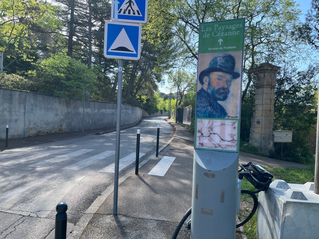
Anyway, I headed out of Aix-en-Provence this morning on my rented Scott Addict and found the D17 road that goes east, and parallel to the southern side of Ste-Victoire. This is supposed to be the route Paul Cezanne (1839-1906) walked every (most?) mornings to get the spot where he would paint “his” mountain over and over again, experimenting with light, shapes and focal planes. I stopped to take this photo, about 2 miles into my ride, and realized I’d forgotten to turn on my Strava. I’ll bet old Paul never had this problem. And, why didn’t he ride a bike instead of walking? They had them back in his day.
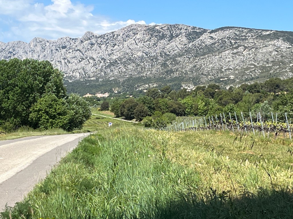
I remembered the route along the south side of the mountain being relatively flat.
It wasn’t.
There were several small ups and downs and then a long one up. Fortunately, the rocky, craggy mountain to my left made the ups easier and … I think I could see a little bit of what Cezanne saw: the different shades of white interacting with the different shades of blue in the sky and all the varied greens from the trees in the foreground and at the base of the mountain.
The village of Pourrieres was also different than I remembered: bigger and more confusing. I went the wrong way (twice), turned around and headed back into the center of town and finally found the D 23 that goes north.
And then the real climbing began.
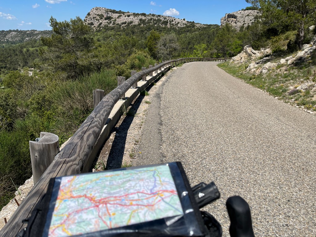
And didn’t end for several miles as I eventually turned left (west) onto the D 223 to ride parallel to the north side of Ste-Victoire. I remembered this was where the hardest climbs were, but they were even longer and steeper than I remembered. And …
Ste-Victoire was different than I remembered. This side of the mountain, the north side, is covered with trees. It’s solid green. I remembered it being the same as the south side: barren and cliffy and white. I think Cezanne and I prefer the south side.
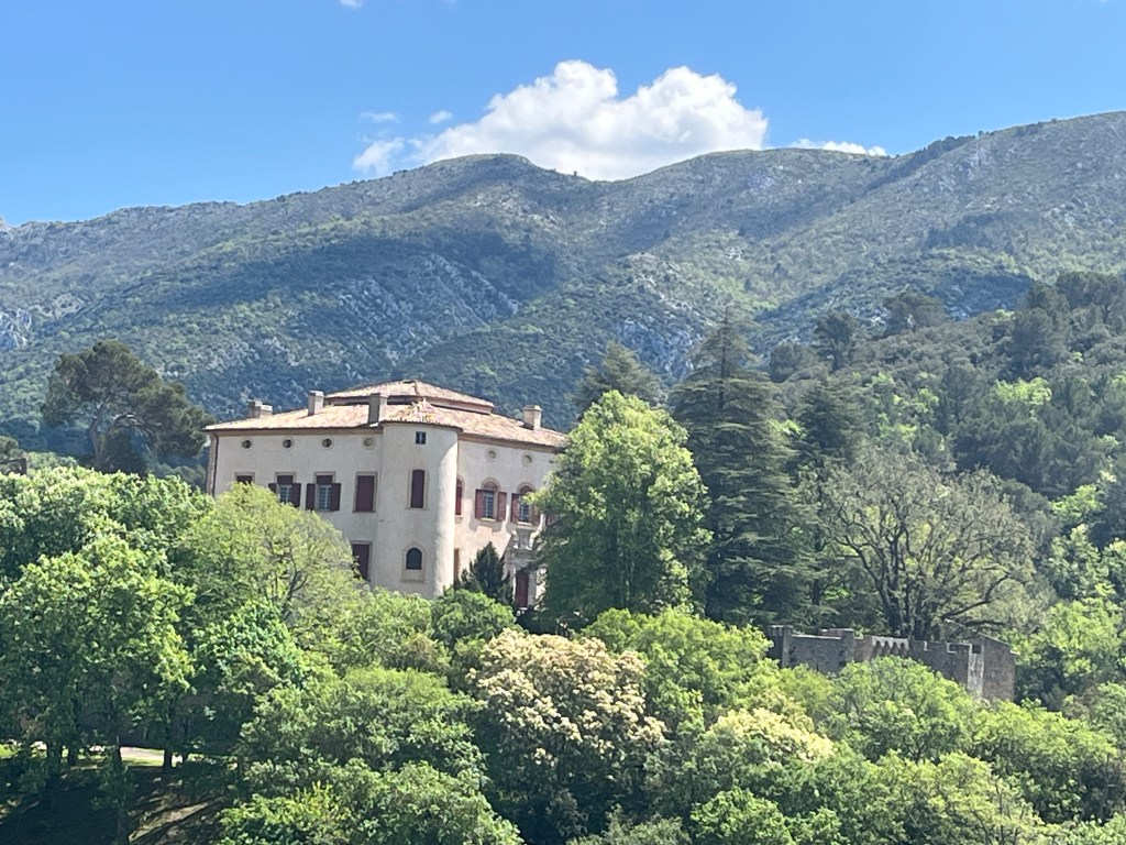
At the end of the long downhill is the village of Vauvenargues, where Picasso (1881-1973) lived for several years in a castle. This is where he is buried. The chateau is still owned by the Picasso family, and you can’t visit. Lots of fences. Nevertheless, it’s a bit of a tourist attraction and people come from all over to take this picture of the castle …
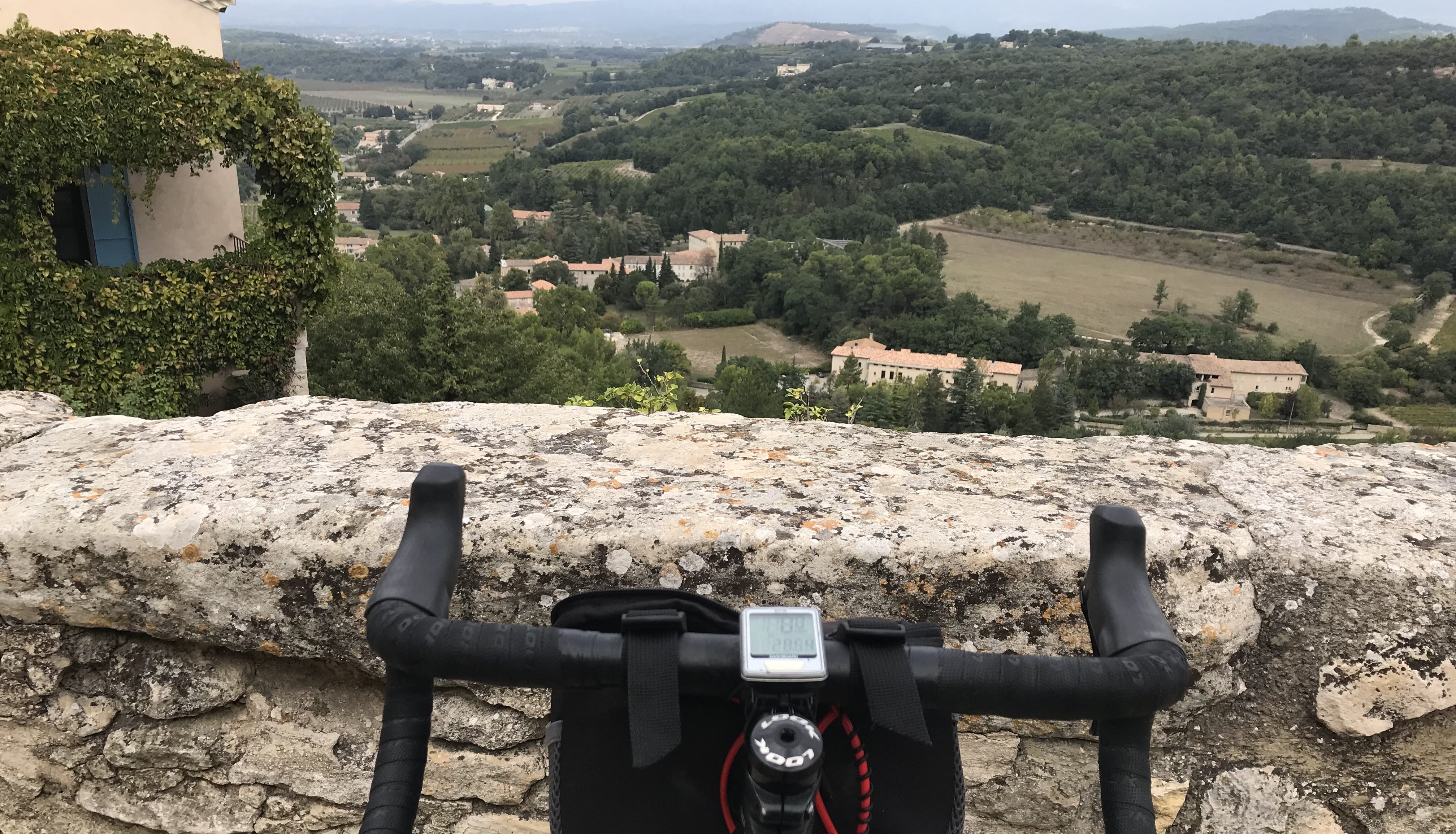
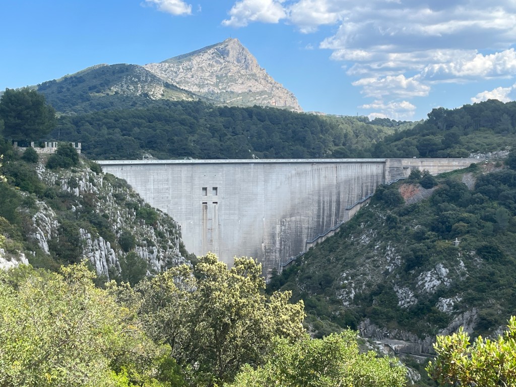
Then it was on to the amazing Bimont Dam, which I remembered, of course. Sort of. What I remembered was the blue lake behind the dam and not the actual dam itself: the huge concrete structure holding back the water.
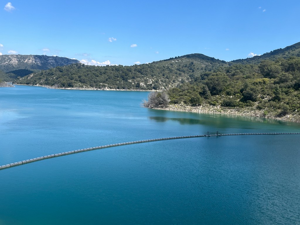
You can ride your bike (or walk) along the upper ledge of the dam and the views are spectacular in every direction. I have no memory of the concrete structure, only the water. I guess this is why it’s important for me to return here every 10 or 15 years.
The last 7 kilometers back to Aix were mostly downhill (thankfully) and then … I got all turned around and kind of lost once I reached the outskirts of the city. Fortunately, I was eventually able to use my offline Google maps to see where I was (which was way past where I should have been) and find my way back to my hotel.
According to Strava my ride was 39.54 miles (plus another 2 before I turned it on) with 3,305 feet of climbing. That’s a lot of climbing (for me).

With age comes wisdom, perhaps, but steeper and longer hills for sure. Thanks for reinforcing dreams of France this coming Fall.
>
LikeLike
Nice ride. You are doing a lot of climbing. Sounds like fun
LikeLike