“Look up there, that’s where we’re going,” Justin said, pointing to what looked like a road that was way, way up the cliff immediately in front of us.
“No way, that’s like straight up, there’s no way we can get up to that road,” I said. “That can’t be our road.”
I was wrong.
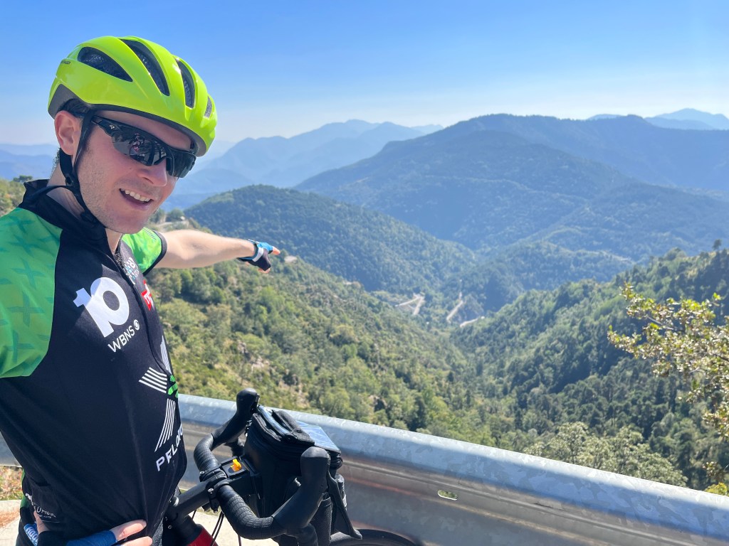
And about 5 kilometers and 16 or 17 switchbacks later we were on the road Justin had spotted from down below. Here’s a photo of him pointing down at some of the switchbacks, which, BTW, they call “lacets” over here. This was the hardest 5 Ks of the trip so far, but the views were amazing. It’s mountains and valleys as far as the eye can see.
Here’s a photo of Justin pointing down at some of the lacets we climbed …
So, our ride today started in Sospel and our route was to climb the Turini again, but via the Col de Braus and then counterclockwise route/road up to the Turini. We headed west on the D 2204 and went up, up, up to the Braus. Just past the Braus, we made a right on the very small and quiet D 54. “I really like this road, it’s so quiet,” Justin said. I agreed and not a single car passed us as we rode about 6 Ks up another col and then down another 6 Ks to the D2, the road that (after it becomes the D 2566) leads to the top of the Turini.
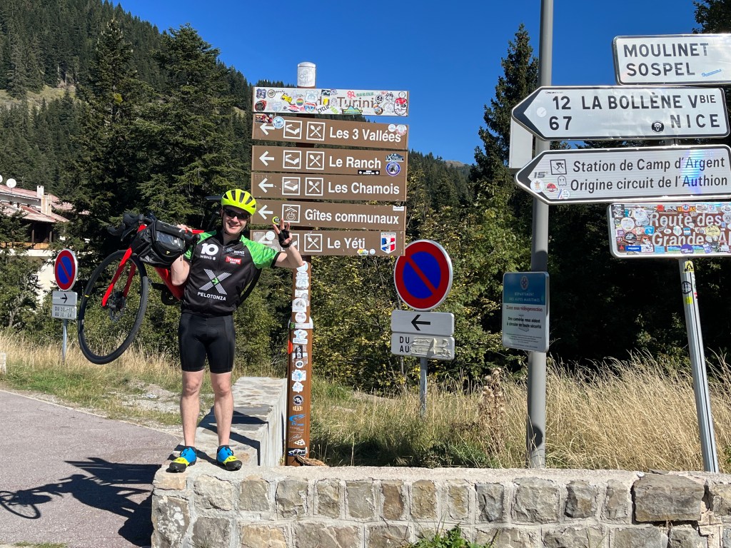
This is where Justin looked up and saw the road we would ride up. My climbing legs were back, sort of, and I felt OK most of the way. It’s kind of fun going around the lacets. After we got to the top of this road/cliff, we still had 15 Ks of climbing to go and … they were actually quite easy. In fact, the last 2 Ks were downhill to the official “Col de Turini” sign. Which raises the question: How can this be the col if the road we arrived here on has a higher elevation? I think this spot, the official spot and sign, is more open and can accommodate more people and a café and hotel. And perhaps the finish of a race.
From here, it was 24 Ks down to Sospel, the same route as yesterday.
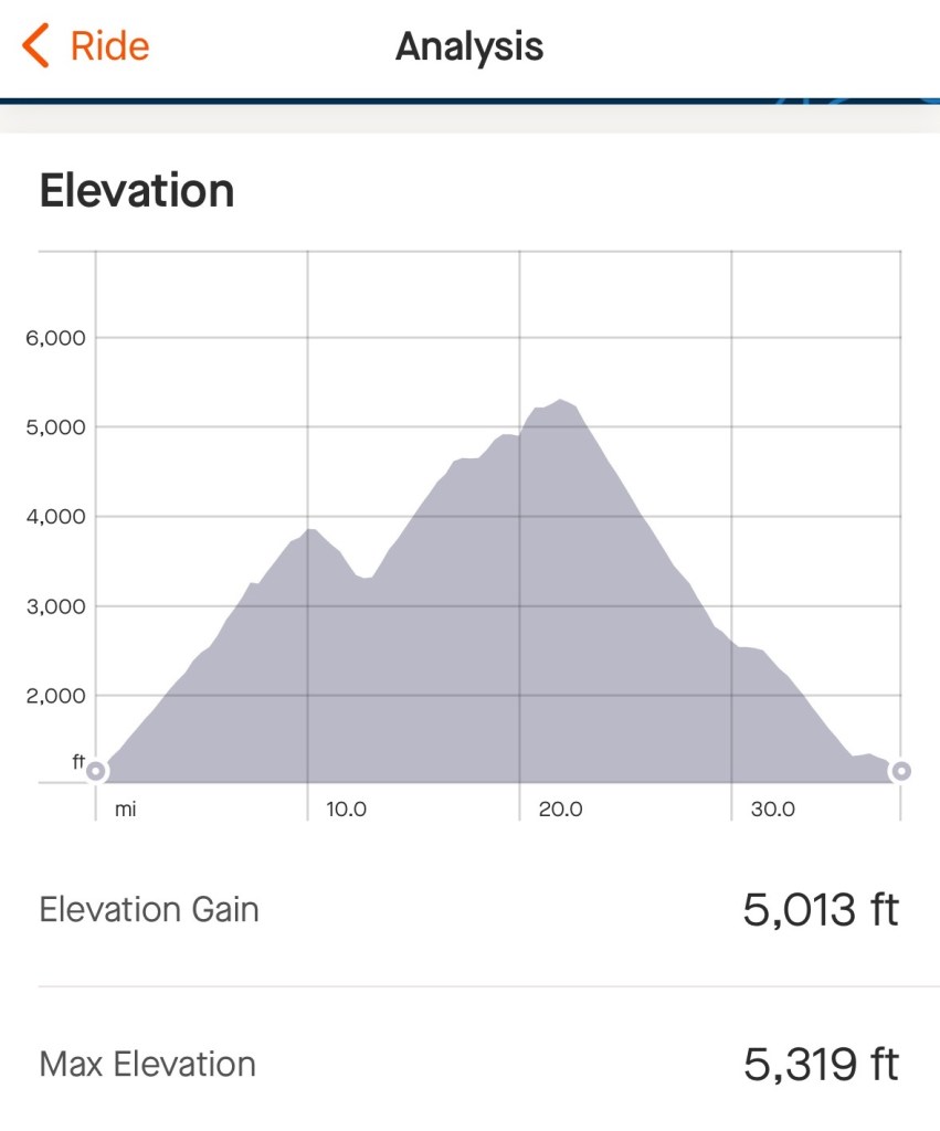
Here’s some of the data from Justin’s Strava…