I admit it: I was a little apprehensive about this trip to the French Alps to climb the collection of cols. It’s not like I’m getting any younger, and it’s hard to practice climbing mountains in pancake-flat Central Ohio, where I live and train.
But, what are you gonna do? Not go? Of course not. The cols are calling…
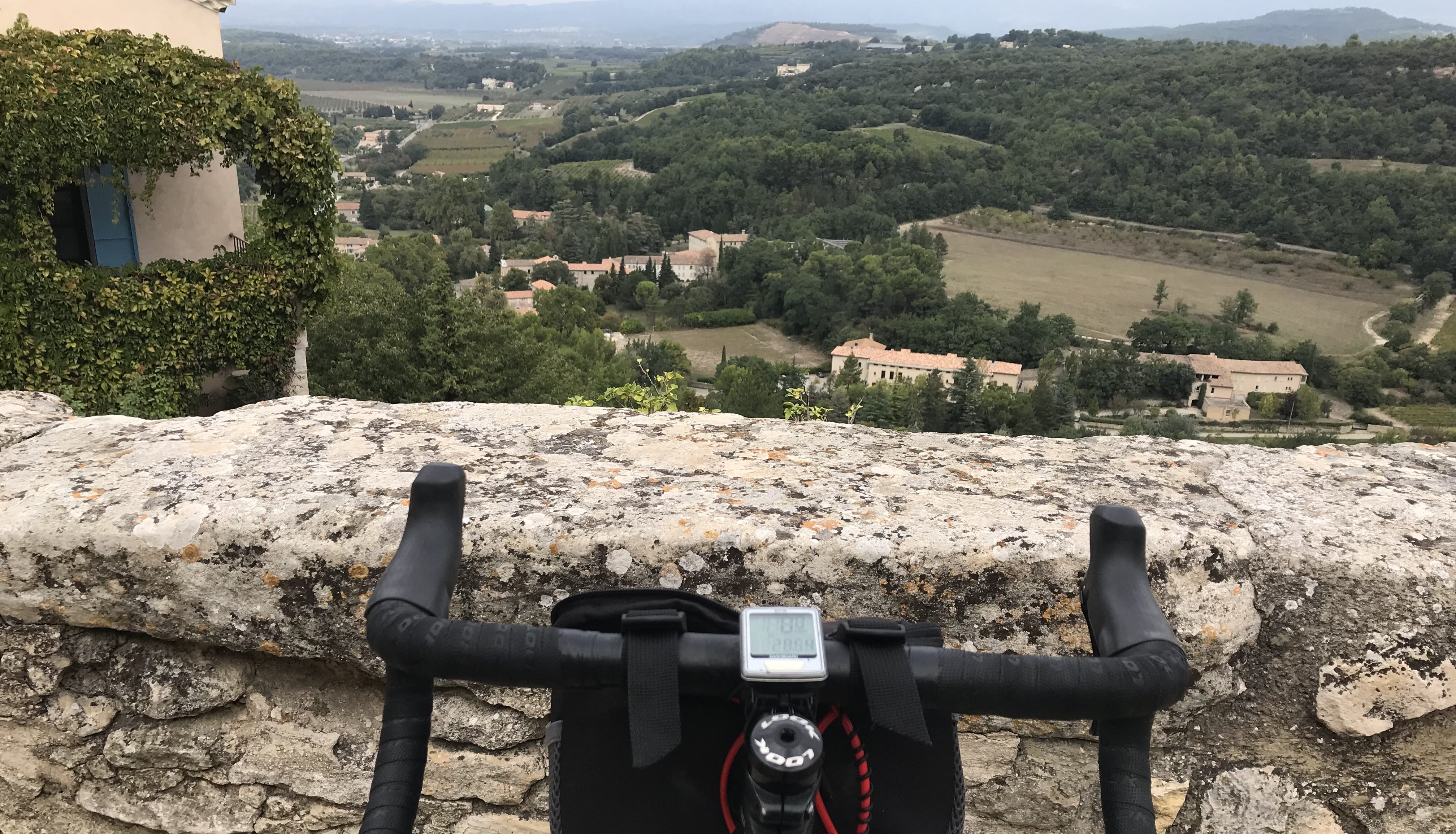
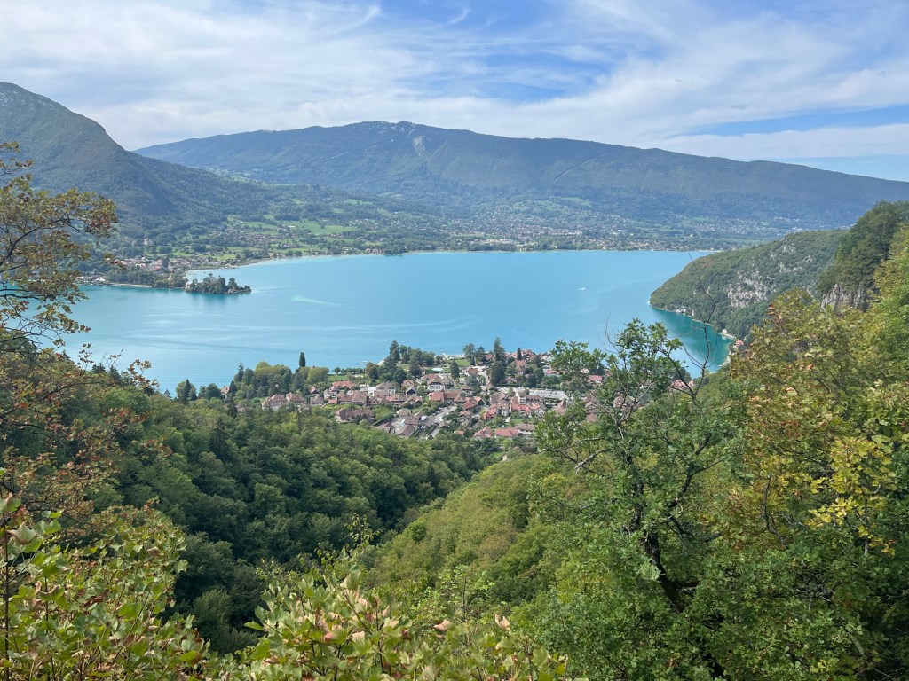
And so, it began. Today. When my rental bike, an all-black, all-carbon, Scott Addict with disc brakes, arrived at my hotel at 9:30 a.m. I was off by 10:00, through the city, down to Lac d’Annecy and then south and around the lake, on the western side first. All path. All pretty. Lake to the left, mountains to the right and to the left and pretty much everywhere. We’re in a valley here, that runs all the way to Albertville (maybe further), surrounded by the Alps. “Which one’s the Forclaz?” I asked myself as I looked across the lake at the endless string of peaks. The Forclaz is the col I was gonna climb once I got to the other side of the lake. It could have been any one of a dozen rising up so majestically a few miles to the west.
There were lots of people on the path, and a surprising number were riding eBikes. They seem to be catching on here. There were also quite a few tandems. This is a cycling town and region.
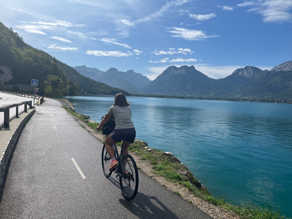
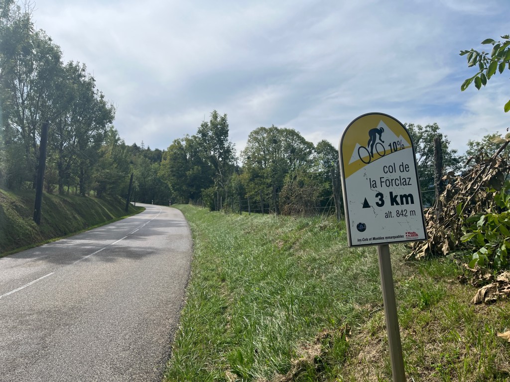
After I reached the bottom (south end) of Lac d’Annecy and turned north, the first six or seven kilometers, to the base town of Talloires, were beautiful. A wide path that runs right along the edge of the river. A little before Talloires, you head away from the lake and then up and up, and then, take a right on the D42 and this will take you to the Col de la Forclaz.
According to the myCols app, it’s a 7.3 kilometer climb with an average gradient on 7.3 percent, and a maximum grade of 11 percent. That doesn’t sound too hard, right? And it wasn’t, until I got to the sign that said there were three kilometers to go, and the gradient for the next kilometer was 10 percent. This was followed by another 10-percent kilometer, and then an 11-percenter to the summit. I kept going, turning slower and slower circles with my pedals. My Scott Addict didn’t come with a computer. It was supposed to (I thought), but I didn’t notice it wasn’t there until after the guy had driven off. Oh well, do I really need to know how slowly I’m going up the Forclaz? I’m pretty sure I was down to five or maybe even four miles per hour by the last kilometer.
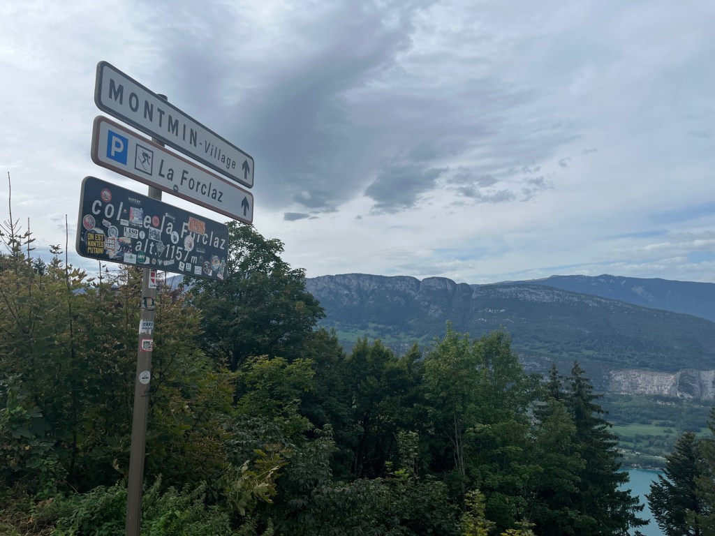
There are several cafes at the top, and lots of people, most of whom who drove up in cars.
I had two choices, back down the way I came, to Tallories. Or back down the other way, to the base cities of Vesonne and Doussard. This second option would add an extra 11 kilometers to my ride, but what the heck, I’m here to ride. And they would be flat kilometers along the lake.
The ride down to Vesonne and Doussard was fast and windy, and it took me a while to gain confidence in my descending. And, it sure seemed as though this was a lot steeper than the road up from Tallories. But, according to myCols, it’s only a little steeper: 8.1 kilometers with an average gradient of 8.4 percent.
Back to my hotel … and a well-deserved nap. A long one. That included a dream about climbing cols.

Glad you are back on the roads of France. I loved the ride around the lake and the stay in Annecy. I recall more hills on the eastern side.
LikeLike
What company did you use to rent your bike? Thanks, Karole Sutherland
>
LikeLike
Here it is …. https://www.cctbikerental.com/rentals/bike-hire-annecy-talloires/
LikeLike
We are seeing quite a few ebikes here in Tuscany – they really are catching on.
LikeLike
Steve, this is amazing! And blogging at its best — I am living vicariously through you.
LikeLike
Thanks Jeanne, hope you are well!
LikeLike
A great loop/route in either direction and the views are sublime. thanks for the pictures which remind me of some good times there Steve. Regards Rod
LikeLike
Col du Forclaz was our first “real climb” as well on a group Alps trip I did in 2017. Several people commented that it was “just the warmup” for what was to come. We did enjoy watching the hanggliders off the summit, and yes, what a cracking descent back down to Annecy. I remember the raclette tasting especially good that evening. 🙂
LikeLike